There is colour shading for easy identification of hills and valleys and detailed crag information for climbers. The map also features mountain incident and first aid advice, tips on using a map and compass plus useful phone numbers and websites.
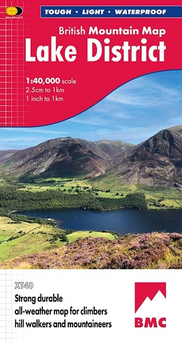
Our best selling Lake District map!
Excellent coverage of the National Park, extended to cover the Northern and Western Fells.
Includes mapping of all 214 Wainwright Fells - perfect for the hill bagger.
Includes detailed crag information for climbers, as well as geological maps and information for the Lake District.
- Tried and tested by the British Mountaineering Council
- Printed on polyethylene - durable, tear-resistent and 100% waterproof
-
Made in cooperation with the British Mountaineering Council
-
Colour shading for easy identification of hills and valleys
-
Detailed crag information for climbers
-
Less than half the weight of a laminated map
-
Detailed 1:20,000 enlargements of Scafell and Pillar
-
Geological map of the Lake District supplied by the British Geological Survey
-
Mountain incident and first aid advice
-
Tips on using your map and compass
-
Useful local phone numbers and websites
"The best Lake District map I have ever seen. The 1:40,000 scale
provides clear, detailed information to one of the most popular hill
walking areas in Britain." Sir Chris Bonington, mountaineer.