Each ride includes comprehensive directions, as well as background
features on local history, wildlife and culture. All are linked to OS
Explorer maps and relevant National Cycle Network routes (NCN), and
include National Grid Reference (NGR) coordinates.
In addition, each
route has been mapped on route planning and navigation app komoot, where
readers can find detailed route insights including an elevation profile
and waytype and surface information. Using the komoot app for iOS or
Android, readers can also use their smartphones to navigate each route.
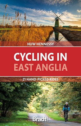
East Anglia, the snail-like bulge protruding off the back of the United
Kingdoms east coast, is a vast flatland of broads, fens and marshes,
stretched out under a wide sky. Despite its proximity to London and the
Midlands, and its continental ferry links, it is one of the quietest
regions in the country.
The ancient kingdom of the Angles is also its
oldest inhabited region, from Paleolithic times to subsequent Viking and
Roman invasions; its wetlands tamed with canals and windmills and built
over with hundreds of medieval churches. With its level, traffic-free
lanes, and network of dedicated cycle routes, this is also an ideal
destination for exploring by bike.
Most of the rides are around 30 kilometres long, ideal for a half-day
outing. 19 out of the 21 routes are loop circuits, making travel
hassle-free, and several are adjacent so can be linked, for more
energetic cyclists wanting a longer challenge.
Places covered include
Sandringham, Wells, Holkham, Norwich, the Norfolk Broads, Bungay,
Thetford Forest, Ixworth, Diss, Southwold, Walberswick, Orford, Sutton
Hoo, Ely, Newmarket and Graffham Water.
Its long, sandy beaches and traditional seaside resorts have made East
Anglia one of the UKs favourite holiday destinations. From rambles
around sleepy villages to adrenalin-rush mountain bike circuits, , this
guide will be packed with inspiration for cyclists of all ages and
energy levels.