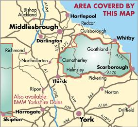
North York Moors - Part of the highly successful and innovative British Mountain Map series. It covers around 560 square miles of country - the only really detailed map to cover this whole area on one sheet. It also includes the popular North Yorkshire Moors Railway and the Lyke Wake Walk.
These maps are a leap forward in technical excellence. Tough, durable, and 100% waterproof, they are compact - not the great bulky package you get with a laminated map - and light to carry
This all-weather British Mountain Map for hill walkers, climbers, mountaineers and mountain bikers is published by HARVEY in cooperation with the British Mountaineering Council.
The colourful geological map on the back was specially designed by the British Geological Survey
- Tough, light, durable and 100% waterproof
- Genuine original HARVEY mapping
- Includes Rights of Way
- Tried and tested by the British Mountaineering Council
"Ive enjoyed and endured tough and challenging walks throughout the
North York Moors, and this tough, durable, detailed map is the ideal companion and guide."
Paddy Dillon, outdoor writer.