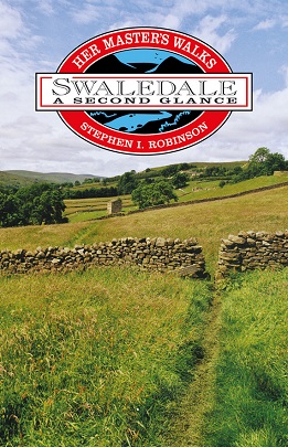
It embraces all the finest characteristics of the Dales flaunting them
with immense pride and serenity. It is surrounded by some of the highest
mountains of the Pennines; Lovely Seat, Great Shunner Fell, Nine
Standards Rigg and High Seat, all towering to well over 2000 feet
(630m).
Swaledale has many tributary valleys, the largest of them being
Arkengarthdale, which is often thought of as a separate dale.
Arkengarthdale is a broad, remote valley which leaves Swaledale at Reeth
and climbs north-west to the famous Tan Hill Inn. Great Britains
highest inn, standing at 1732 feet (528m) above sea level.
Swaledale has a network of over 280 miles (450km) of public rights of
way and both the Pennine Way and the Coast-to-Coast Walk pass
through this beautiful dale. It has many attractive villages which
provide excellent starting points for a variety of walks from easy
riverside rambles to strenuous fell walks.
Each walk has a two page description, a colour map with numbered arrow
pointers and route directions with grid references to aid map reading.
All of the walks follow circular routes, ranging from 5.5 to 9 miles (9
to 14.5km).
| Walks in Swaledale and Arkengarthdale |
Miles |
| Whitsundale and Clumpstone Hill |
7.5 |
| A Circuit of Kisdon Island |
5.5 |
| Ivelet Moor and Swinner Gill |
9.0 |
| Smarber, Blades and Kearton |
8.0 |
| Maiden Castle and Harkerside Moor |
8.5 |
| Surrender Bridge and Calver Hill |
8.5 |
| Whaw and Dale Head Moor |
8.0 |
| Marrick Priory and the Nuns' Causey |
7.5 |
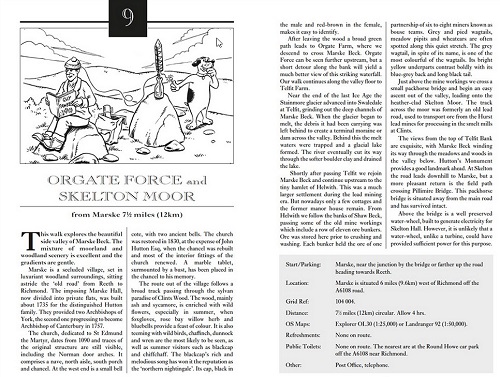
| Orgate Force and Skelton Moor |
7.5 |
| Willances Leap and Round Howe |
7.5 |