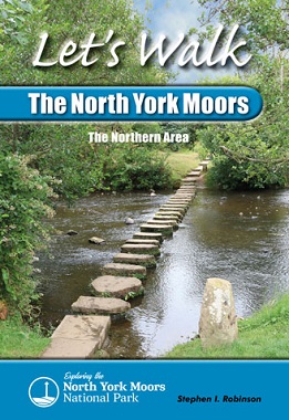
The highest moorland areas lie to the south near the watershed, divided west to east by Eskdale
and separated by a series of intimate and scenic tributary dales, which
join the river Esk’s primary valley as it flows to the North Sea. The Esk
is one of the few rivers in Yorkshire that supports salmon and has been
popular with fisherfolk for centuries. Although it is the principal
river within the National Park, the Esk’s source is not a singular
bubbling spring but a series of trickling becks or Esklets, which merge
as they flow into the valley. Then the river meanders its way east for
25 miles (40km) to Whitby, accompanied by its guardian moors, with a
patchwork of green fields lining the valley floor. Meanwhile, the Esk’s
many tributaries rise along its southern flanks to the loftiest
moorland. These include Westerdale – regarded as the head of Eskdale – Danby Dale, the Fryup Dales, Glaisdale
and the valleys of the Murk Esk and Littlebeck. All these dales are
modest in length, with only that of the Murk Esk containing a sizeable
village.
However, the main valley has a string of enchanting villages sited
along its length, many acting as gateways to the side valleys. Almost
every village has a railway station, with the Esk Valley Railway Line providing the ideal mode of travel in an area with narrow, winding and often very steep roads.
The northern area of the National Park has modest forestry covering,
mainly to the west above Guisborough. In contrast, heather and ling
clothe the moors, while field boundaries, meadows and dry-stone walls
distinguish the dales. Eskdale has many opportunities for walkers, from
leisurely rambles in the lower valley to challenging moorland treks for
the more energetic.
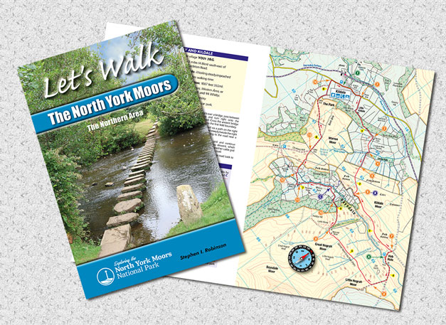
This personal guide incorporates:
Full-colour maps with numberedarrow pointers for each of the walks.
Route directions with grid references
beside each map to aid navigation.
Background information for each walk.
Illustrated with 29 colour photographs of prominent features seen during the walks.
| Roseberry Topping and Highcliffe Nab |
9.5 |
| Baysdale Abbey and Kildale |
9.4 |
| Danby Dale and Westerdale |
7.5 |
| The Pannierman's Causeway |
7 |
| Danby Beacon and Lealholm Moor |
7 |
| Beggar's Bridge and Lower Glaisdale |
7.25 |
| Egton Bridge |
6 |
| The Cleveland Dyke and the Murk Esk |
7.67 |
| Mallyan Spout and Wade's Causeway |
8 |
| Falling Foss and John Bond's Sheep House |
7.15 |
| The distances are in miles |