These spectacular hills extend from the White Horse of Kilburn to Roseberry Topping, and they trace the boundary of the moors throughout their entire length. The Cleveland Way, which begins in Helmsley,
traverses these lofty ridges en route to the North Sea coastline at
Saltburn. The trail showcases many miles of spectacular scenery with
good firm walking underfoot. The two ranges merge near Osmotherley, and one can easily distinguish the variance in their respective characters.
To the south, the Hambleton Hills follow a broad, undulating ridge
that supports arable farming almost to the summit. The landscape
comprises large fields and scattered settlements, with woodland covering
much of the lower escarpment. The ecclesiastical ruins of Rievaulx and Byland Abbeys
share the south-east corner with the ancient market town of Helmsley
and its mighty castle. However, one of the best-known locations in this
range of hills is probably Sutton Bank, which James Herriot,
Yorkshire’s most famous vet, described as ‘the finest view in England’.
This impressive panorama overlooks Gormire Lake, one of Yorkshire’s
three natural lakes, and long-distance views extend westward across the
Vales of York and Mowbray.
Meanwhile, heading north, the Cleveland Hills rise much more abruptly
to individual summits, transitioning into wilder, heather-covered
moorland. The Clevelands embrace some of the highest hills in the North
York Moors, rising to 1490 feet (454m) at Round Hill on Urra Moor, the
highest point within the National Park.
In addition to foresty plantations on the lower slopes, the Cleveland Hills
bear scars of an industrial past from the large-scale mining of alum,
jet and ironstone. In the nineteenth century, Cleveland produced
one-third of the UK’s ironstone, which led to the rapid growth of
Middlesbrough and established the Teesside iron and steel industry.
Although nature has helped to reduce the scars left behind by this
exploitation, many relics from that era remain of interest to industrial
archaeologists.
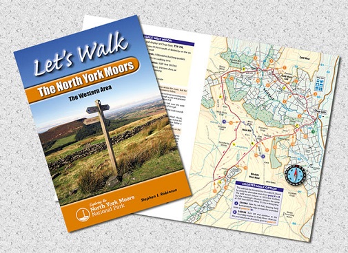
This personal guide incorporates:
Full-colour maps with numbered
arrow pointers for each of the walks.
Route directions with grid references
beside each map to aid navigation.
Background information for each
walk.
Illustrated with 33 colour photographs of prominent features seen during the walks.
| The White Horse and Scotch Corner |
7.5 |
| Shandy Hall and Byland Abbey |
7.75 |
| Hawnby Hill |
8.25 |
| Paradise and Boltby Forest |
6.5 |
| Rievaulx Abbey and Old Byland |
6.5 |
| Oak Dale and the Silton Forest |
7.3 |
| Scugdale and Carlton Moor |
6.75 |
| Raisdale and Bilsdale West Moor |
7.5 |
| Bilsdale and the Roppa Crosses |
6.1 |
| The Wainstones and Urra Moor |
8 |
| The distances are in miles |