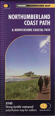
XT40 - These maps are a leap forward in technical excellence. They are tough, durable, light and 100% waterproof - virtually indestructible in normal use.
They are light to carry, and compact - not the great bulky package you get with a laminated map.
- Showing the updated route which aligns with the new King Charles III England Coast Path
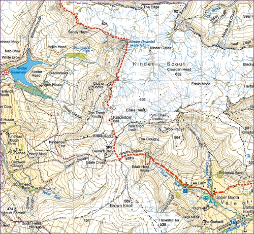
- The XT40 is based on original HARVEY mapping with all the detail a walker would expect on a map at 1:40,000 scale
- Uncluttered by information irrelevant to the walker and less than half theweight of a laminated map
- Printed on tough, light and 100% waterproof paper
- The entire route on one sheet
- Shows facilities and services along the route
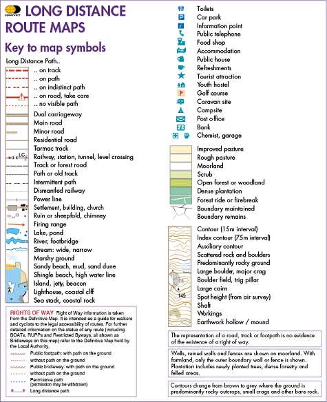
- Clear and easy to read mapping
Experience the satisfaction of fine navigation with the Trail Map XT40, printed on strong,durable and 100% waterproof paper - whatever the weather!