Highlights of this Planning Map include:
- More
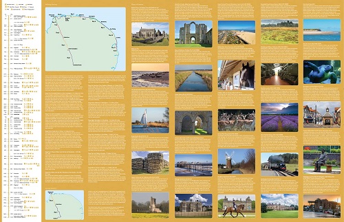
than 20 highlighted places of interest with detailed descriptions and
attractive photographs, including: the Hunstanton striped cliffs,
Blakeney Point, and Binham Priory
- A comprehensive index to more than 600 cities, towns and villages
- A clear, visible route plotted across a 2.4 miles to 1 inch (1.5 km to 1 cm) scale map
- Advice on safety and security when travelling along the route, as well as the countryside code and the code of conduct
Part
of the National Trail network, these two long-distance footpaths cover
93 miles (150 km) across West Norfolk and along its northern coast.
Following the course of a Roman road through forest, open farmland and
river valleys, Peddars Way contrasts with the small harbours, low
cliffs and sand found along the Norfolk Coast Path.
The combined routes
offer a varied trail through rich landscapes and fantastic scenery.
A
suggested walking itinerary makes it easy for users to plan their
journey along these popular trails.