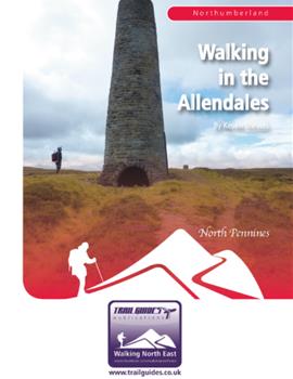
Rising in the North Pennines, on the Durham/Northumberland border, two rivers, the East and West Allen, flow northwards to join and then, ultimately, enter the River South Tyne. Here, within sight of the high Pennines, these rivers have created two rugged little valleys that for centuries were part of the lead dales, the North Pennines Orefield that dominated the worlds lead industry.
Here the landscape has a different look and feel to it than the other more popular walking areas of Northumberland such as the Cheviot Hills or Hadrians Wall. Travelling from the high moors to the wooded valleys, join the author as, in a series of nine walks, he explores both the landscape and the heritage of these two dales and discovers what makes them so special.
Walk 1: Burntridge Moor and the Rowley Burn
Walk 2: The West Allen Valley
Walk 3: Allenheads Circular
Allenheads
Walk 4: Mohope
Walk 5: Rebel Hill and Greenrigg Moor
Walk 6: The River East Allen
The Allen Smelt Mill
Walk 7: Wellhope and Coalcleugh
The Coalcleugh Mines
Walk 8: The Chimneys and Brownley Hill
Flues and Chimneys
Walk 9: Killhope Law