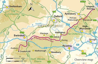
Follow Britains oldest road on the Ridgeway National Trail, a
139km (86 mile) journey from Avebury in Wiltshire to Ivinghoe Beacon in
Buckinghamshire. This ancient trackway winds along chalk ridges and
open downs, passing Neolithic burial mounds, Iron Age hill forts and
sweeping viewpoints across the North Wessex Downs and the Chilterns.
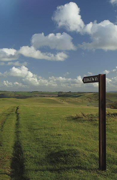
With
gentle gradients and well-waymarked paths that rarely rise above 300m,
the Ridgeway National Trail offers relatively easy, low-level walking
suitable for all abilities. The route is presented in 12 manageable
stages of 816km (plus a separate pull-out map booklet) and is described
in both directions, allowing flexibility for shorter itineraries or a
relaxed week-long traverse across southern England.
- Step-by-step
stage-by-stage route descriptions for the Ridgeway National Trail
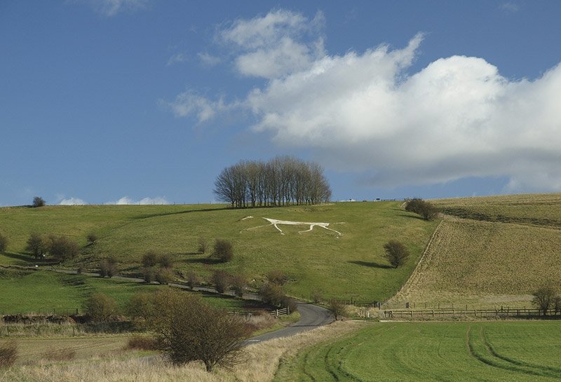
between Avebury and Ivinghoe Beacon, presented in both directions and
including detours to nearby prehistoric and historic sites such as
Uffington White Horse and Waylands Smithy.
- Each stage features
1:50,000 OS mapping alongside detailed navigation notes, distance,
terrain summary and estimated walking times, plus a separate pull-out
1:25,000 OS mapping booklet covering the entire Ridgeway National Trail.
- Comprehensive
accommodation and refreshment listings for inns, B&Bs, pubs and
village cafés, with public transport information for each stage to help
plan flexible start and finish points.
- Historical and
archaeological background on the Ridgeway National Trail, exploring its
prehistoric origins, hill forts, ancient monuments and centuries of use
as a trading and droving route.
- GPX files for the Ridgeway
National Trail available for download, enabling straightforward
navigation using GPS devices or smartphone mapping apps.
- A handy
route summary table and facilities planner offering quick reference for
daily distances, services and logistical details along the Ridgeway
National Trail.
Plan your Ridgeway National Trail
adventure with confidence and explore ancient landscapes, chalk hill
panoramas and thousands of years of history with this comprehensive
guidebook.
The Ridgeway National Trail - Quick Facts
Route: Ridgeway National Trail from Avebury in Wiltshire to Ivinghoe Beacon in Buckinghamshire.
Distance: 139km (86 miles).
Duration: Typically 69 days, with options to extend or shorten stages.
Stages: 12 stages of 816km (510 miles), described in both directions.
Difficulty: Easy to moderate, low-level walking on well-waymarked tracks and paths.
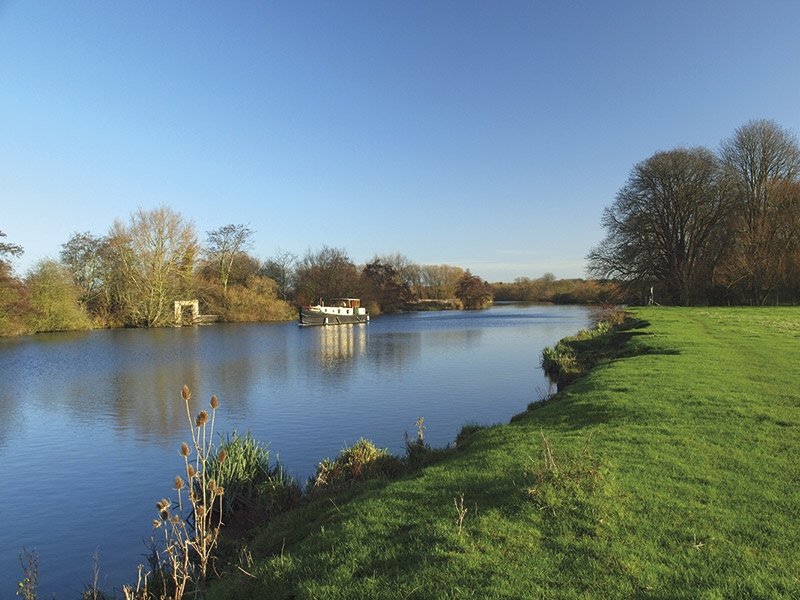
Highest Point: Never exceeds 300m, following the crest of chalk downs.
Landscapes: North Wessex Downs and the Chilterns, with open ridges, woodlands and panoramic viewpoints.
Heritage: Prehistoric monuments, Neolithic burial mounds and Iron Age hill forts along the route.
Mapping: 1:50,000 OS maps in the guidebook plus a separate 1:25,000 OS mapping booklet.
Navigation: GPX files available to download for digital navigation.
The Ridgeway (West
to East)
|
| Stage 1 Overton Hill (Avebury) to Ogbourne St George |
| Stage 2 Ogbourne St George to Ashbury Folly |
| Stage 3 Ashbury Folly to the A338 (Wantage/Court Hill
Centre) |
| Stage 4 A338 (Wantage/Court Hill Centre) to Bury Down |
| Stage 5 Bury Down to Streatley |
| Stage 6 Streatley to Mongewell Park |
| Stage 7 Mongewell Park to Watlington |
| Stage 8 Watlington to Chinnor |
| Stage 9 Chinnor to Princes Risborough |
| Stage 10 Princes Risborough to Wendover |
| Stage 11 Wendover to Wigginton |
Stage 12 Wigginton to Ivinghoe Beacon
|
The Ridgeway (East
to West)
|
| Stage 1 Ivinghoe Beacon to Wigginton |
| Stage 2 Wigginton to Wendover |
| Stage 3 Wendover to Princes Risborough |
| Stage 4 Princes Risborough to Chinnor |
| Stage 5 Chinnor to Watlington |
| Stage 6 Watlington to Mongewell Park |
| Stage 7 Mongewell Park to Streatley |
| Stage 8 Streatley to Bury Down |
| Stage 9 Bury Down to the A338 (Wantage/Court Hill Centre) |
| Stage 10 A338 (Wantage/Court Hill Centre) to Ashbury Folly |
| Stage 11 Ashbury Folly to Ogbourne St George |
| Stage 12 Ogbourne St George to Overton Hill (Avebury) |