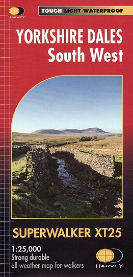
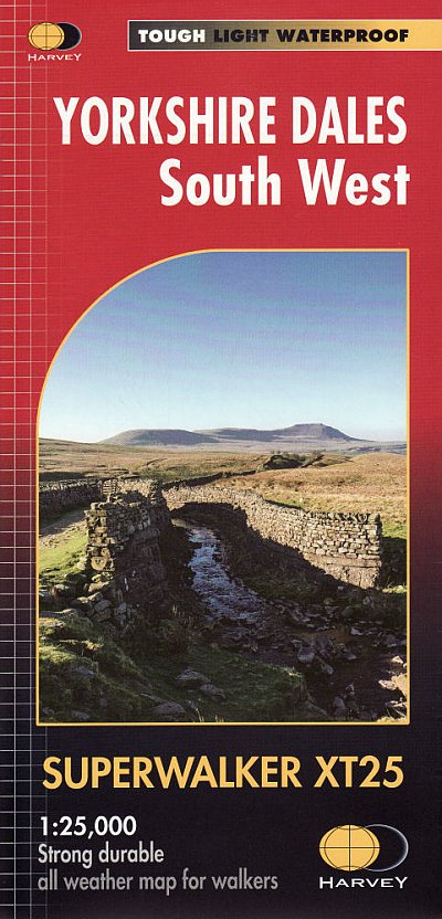
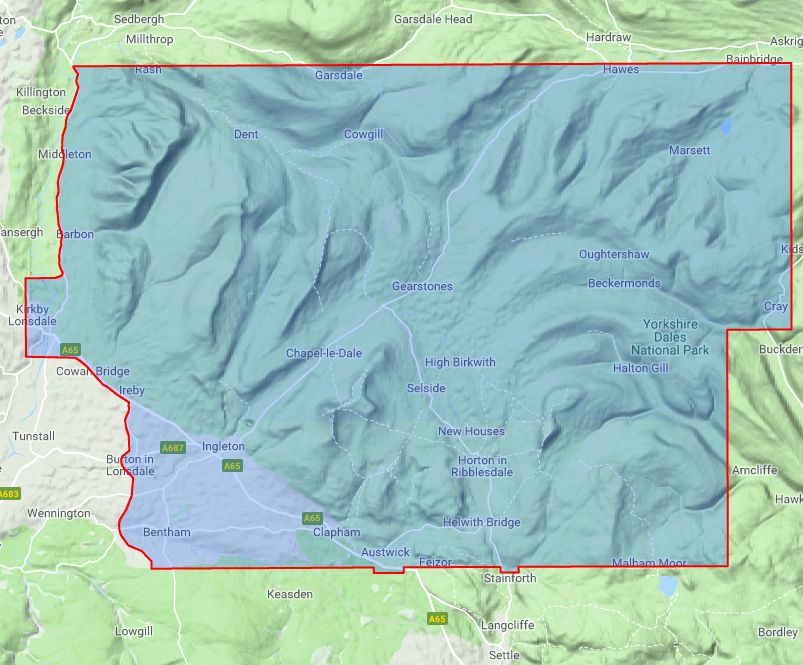
Includes the Yorkshire Three Peaks: Whernside, Ingleborough and Pen-y-ghent, Kirkby Lonsdale, Dent and Hawes.
Detailed map for hillwalkers of the south western part of the Yorkshire Dales National Park at the popular scale of 1:25,000.
- Tough,
light, durable and 100% waterproof
- Genuine, original, HARVEY mapping
- Includes Rights of Way
- Opens directly to either side of the sheet
- Easy
to re-fold.
Detailed 1:25,000 scale maps of the UK.
"The clearest map I've ever seen of the complex Cuillin"
Hamish Brown speaking of the Skye Cuillin Superwalker
- Half the weight of a laminated map
- Shows land shape in clear and accurate contours
- Clarity of mapping enables more people to read it without their glasses
- Map is uncluttered by information irrelevant to the walker
Confidence
- The detail you need for sure navigation
- Can be used with GPS
- Public footpaths and bridleways
- National Grid for accurate reference
Quality
- Clear and detailed mapping from original aerial surveys
- Field checked by surveyors who are themselves walkers
- As used by Mountain Rescue Teams
Value
- Waterproof, longer lasting