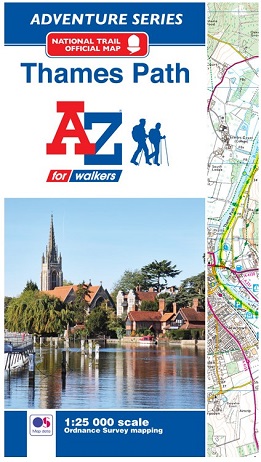
OS 1:25000 is Ordnance Survey's most detailed mapping, showing public
rights of way, open access land, national parks, tourist information,
car parks, public houses and camping and caravan sites.
The Thames Path is
a National Trail which covers 296km (184 miles) and follows the length
of Englands longest river, the Thames, from its source in the Cotswolds
to the Thames Barrier in Greenwich, London.
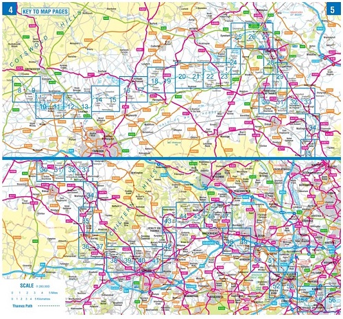
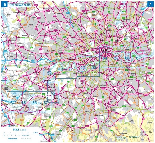
This A-Z Adventure Atlas of the Thames Path
features 60 pages of continuous Ordnance Survey mapping providing
complete coverage of the Thames Path. Clearly highlighted in yellow, the
route is easy to identify and shows both north and south bank
alternatives. In addition mileage markers have been introduced to the
map making it easy to gauge distances when planning your own sections of
the walk to enjoy.
A route planner is also included providing distances between places and the amenities available, featuring:
- Information Centres
- Hotels/B&Bs
- Youth Hostels
- Campsites (seasonal opening)
- Restaurants
- Public Houses
- Cafes (seasonal opening)
- Shops
- Petrol Stations
Unlike OS sheets, this A-Z Adventure Atlas
includes a comprehensive index to towns, villages, hamlets and
locations, natural features, nature reserves, car parks and youth
hostels, making it quick and easy to use. Each index entry has a page
reference and a six figure National Grid Reference. With a book size of
240mm x 134mm it is the same size as the standard folded OS map.
Also
featured is advice on safety and security when walking, details of
Tourist Information Centres and a selection of QR codes linked to useful
web sites.
This A-Z Adventure Atlas has the
accuracy and quality of OS 1:25000 mapping indexed within a book, making
it the perfect companion for walkers, off-road cyclists, horse riders
and anyone wishing to explore the great outdoors.