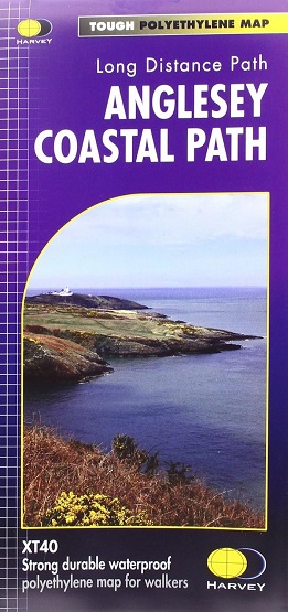
The path primarily caters for walkers however, cyclists and horse riders
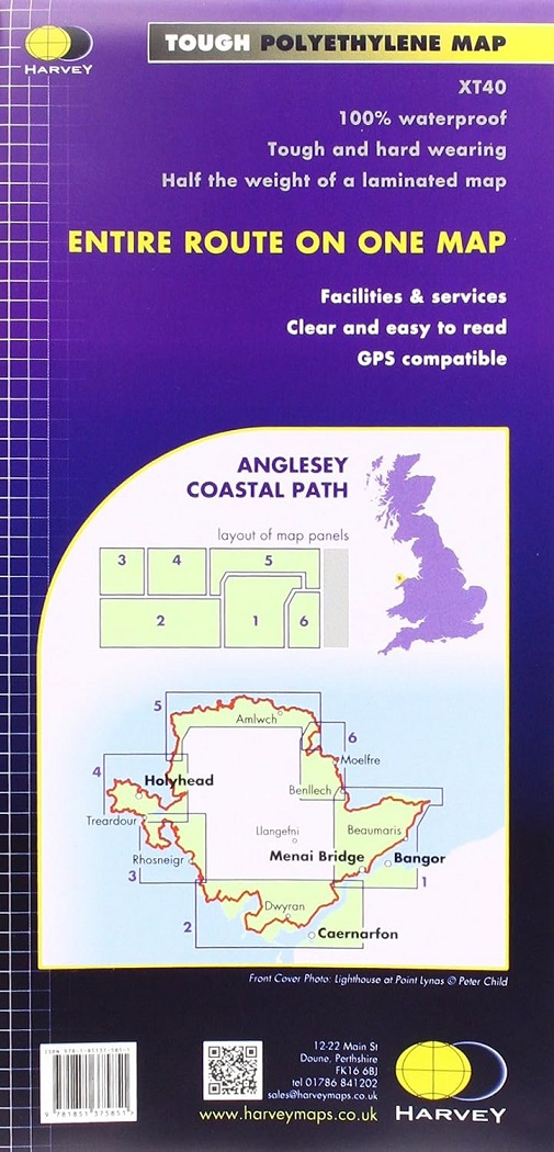
can also enjoy certain sections. This is the 1:40,000 strip map from
Harvey covering the entire route on one waterproof map.
The path falls within a designated Area of Outstanding Natural Beauty
which covers 95% of the coast. It passes through landscape that includes
a mixture of farmland, coastal heath, dunes, salt-marsh, foreshore,
cliffs and a few small pockets of woodland.
XT40 New generation of tough polyethylene maps. The HARVEY series
of Long Distance Route maps is an established success. Now the advanced
technology used in the creation of our best-selling British Mountain
Maps is also applied to the route maps.
These maps are a leap forward in
technical excellence. They are tough, durable, light and 100%
waterproof, virtually indestructible in normal use. They are light to
carry, and compact not the great bulky package you get with a laminated
map. The map is detailed, with the route clearly marked. It also
contains general information and useful telephone numbers to assist with
planning, and a full key.