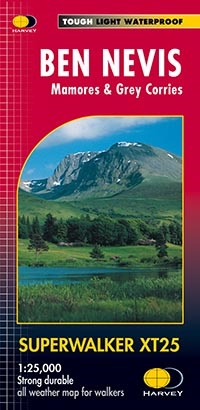
-
The
Superwalker
XT25 is based on original HARVEY mapping with all the information a walker would expect on a map at 1:25,000 scale.
-
23
Munros
, 6
Corbetts
all on one sheet.
-
An enlargement at 1:12,500 of the summit of Ben Nevis is also shown for easier navigation off the summit.
-
Walls and fences on farmland are now shown.
-
The clarity of the mapping has been improved to enable more people to read it without their glasses.
-
The map is uncluttered by information irrelevant to the walker.
-
The precise contouring and delicate hill shading give an immediate picture of the ground.
-
Less than half the weight of a laminated map. GPS compatible.
-
Experience the satisfaction of fine navigation with the
Superwalker
XT25
now printed on our 100% waterproof and almost indestructible paper
, whatever the weather!