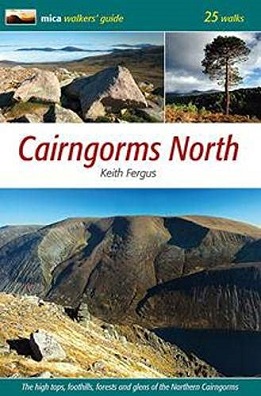
An ideal guidebook for anyone seeking to explore all, or parts of these hills.
The
walks are arranged into four geographical areas: Glenmore, Cairn Gorm,
Rothiemurchus, and Glen Feshie.
Each walk entry includes distance,
estimated time, height gain, and start and finish location with grid
reference.
There are detailed navigation instructions and a coloured
sketch map showing the route outline. It would be advisable to also
carry the relevant OS Explorer map.
The text includes comment on the
landscape and points of interest and there are some panels giving
details of flora and fauna that may be encountered. An introductory
chapter provides further general information about the area.
List of Walk Locations
Glenmore
Kincardineshire Hills - 8 miles
Meall a' Bhuachaille - 6 miles
Creag Mhor - 19 miles
Bynack More - 18 miles
Around Loch Avon - 21.5 miles
Stac na h-Iolaire - 8 miles
Cairn Gorm
Cairn Gorm - 7 miles
Cairn Gorm and Northern Corries - 7 miles
Cairn Gorm and Bynack More - 11 miles
Beinn Mheadhoin - 11 miles
Ben Macdui - 10 miles
Ben Macdui via Carn Etchachan - 13.5 miles
Loch Avon Munros - 14.5 miles
Rothiemurchus
Braenach from the Sugarbowl - 13 miles
Braenach from Whitewell - 16.5 miles
Creag a' Chalamain - 13 miles
Carn Eilng - 13.5 miles
Creag Dubh - 11 miles
Kennapole Hill and Ord Ban - 6.5 miles
Torr Alvie - 3.5 miles
Glen Feshie
Sgor Gaoith - 11 miles
Monadh Mor and Beinn Bhrotain - 18 miles
Mullach Clach a' Bhlair - 16.5 miles
Glen Feshie Munros - 21 miles
Two Lonely Corbetts - 21.5 miles