Call: 0333 335 5474
Basket: £0.00 | 0 items

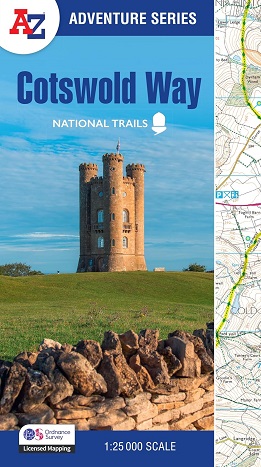
Cotswold Way: A-Z Adventure Series

Cotswold Way: A-Z Adventure Series

The Cotswold Way is a 102 mile (164 km) National Trail running along the Cotswold Hills. Starting in the historic City of Bath and finishing in Chipping Campden, the clearly marked route passes through numerous places of interest and an abundance of wildlife.

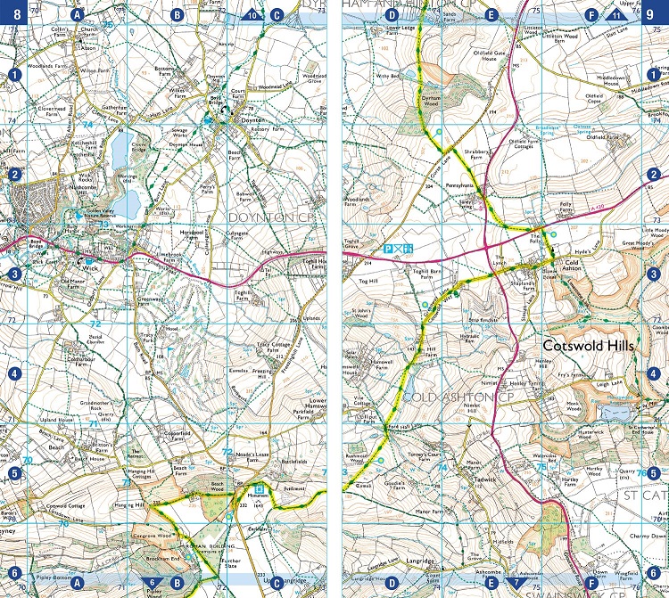
This official National Trail Map features detailed Ordnance Survey mapping at a scale of 1:25 000, providing complete coverage of the Cotswold Way. There is also a route planner included to show distances between places and the amenities available making it easy to plan your adventure. Additional features include:

  • Information Centres
  • Hotels/B&Bs
  • Youth Hostels
  • Campsites (seasonal opening)
  • Public Houses
  • Restaurants
  • Shops
  • Cafes (seasonal opening)
  • Petrol Stations

ISBN 9780008727758
 
OUR PRICE: £11.99
 
Quantity
 
Delivery Info  
Flat rate £2 postage on all items/orders up to £19.99 Free Delivery on orders over £20


Know someone who'd like this? Tell them about it...

*
*
*
Shopping with us is safe and secure
Copyright © Walking-books.com All rights reserved Created by White Room Creations T&C’s I Privacy Policy