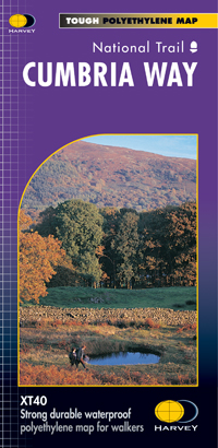
A leap forward in technical excellence. This tough, light, 100% waterproof compact and light map weighs just 60gms - a third of the weight of a laminated map, much less bulky and you can fold or refold it time and again, or stuff it in your back pocket and it won't fall to pieces.
The entire route between Ulverston and Carlisle on one map, including accommodation, services and facilities en route and safety advice.
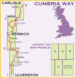
The Cumbria Way is 112km (70 miles) from Ulverston to Carlisle and passes through Coniston, Dungeon Ghyll, Keswick and Caldbeck. Mostly through valleys rather than over high tops.
Information on finding accommodation, camping, food and directions to the start. Also includes Ranger Service contact numbers, enlargements of towns/villages showing facilities available and tips on weather and clothing.
Detailed mapping, full legend. National Grid - can be used with GPS. 1:40,000 scale.
Waterproof and supplied in clear plastic pocket.