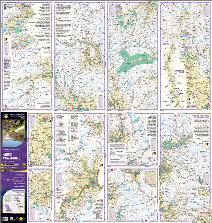
Tough, 100% waterproof, compact and light map you can fold or refold it time and again, or stuff it in your back pocket and it won't fall to pieces. Supplied in clear plastic pocket.
Weighing just 60gms which is a third of the weight of a laminated map, and is much less bulky - a real leap forward in technical excellence and shows the entire Southern route on one sheet.
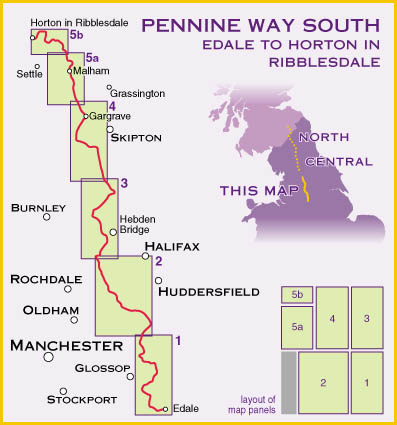
Just 2 HARVEY maps cover the whole 268-mile route with each starting and finishing near public transport and covering a section of the Way suitable for a comfortable week of walking.
Each also contains lots of information and useful telephone numbers to assist the walker with planning finding accommodation, camping, food, Ranger Service contact numbers, enlargements of towns/villages showing facilities available and tips on weather and clothing. National Grid - can be used with GPS. 1:40,000 scale.