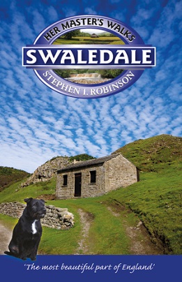
Swaledale is now reserved mainly for sheep farming, but during the
eighteenth and nineteenth centuries it was devastated by the lead mining
industry. Fortunately, its remoteness has helped to stave off many of
the threats posed by twentieth-century and modern day developments. The
small villages and narrow roads still make it much more accessible to
walkers rather than motorists.
This ‘special dale’ with its unrivalled scenery and secluded
grandeur is a haven for the sincere walker.
Each walk has a two page description, a colour map with numbered
arrow pointers and route directions with grid references to aid map
reading. All of the walks follow circular routes ranging from 5.75 to 10
miles (9 to 16km).
| Walks in Swaledale |
Miles |
| Kisdon Hill, Thwaite and Muker |
7.5 |
| Oxnop Gill and Ivelet Bridge |
8.5 |
| Ivelet and Gunnerside |
6.7 |
| Gunnerside Gill and the Blakethwaite Dams |
8.2 |
| Melbecks Moor and Surrender Bridge |
9.0 |
| Fremington Edge, Hurst and Arkle Beck |
7.5 |
| Langthwaite via Fore Gill Gate |
8.5 |
| Marrick and Fremington Edge |
7.2 |
| Slei Gill and Booze Moor |
5.5 |
| The Tan Hill Inn and Ravenseat |
10.5 |