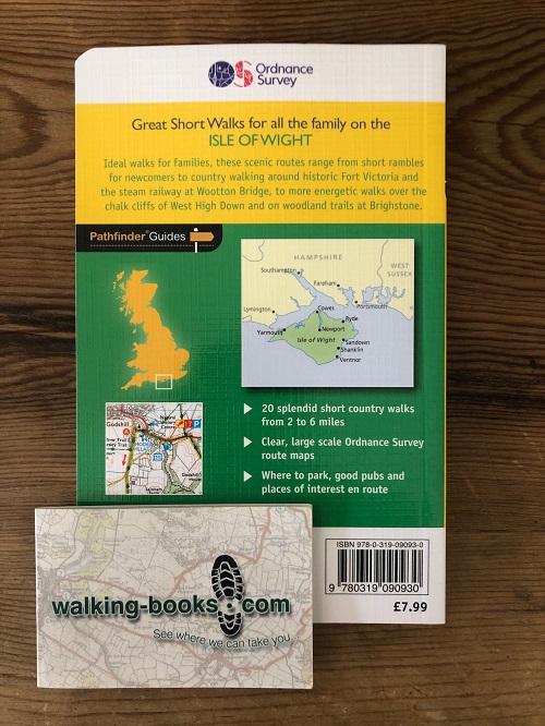
Away from the bustling seaside resorts, you'll find pretty lanes and thatched villages waiting to welcome you - and, it's said, there's a pub for almost every square mile on the island.
Over 500 miles of carefully maintained footpaths offer plenty of scope to explore the island's unique attractions. The guide features historic buildings like the remarkable 14th-century lighthouse near Chale, Bembridge windmill and the town hall at Newtown, which dates from the days of England's infamous rotten boroughs.
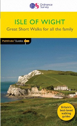
These pocket guide books provide the ideal companion for day trips, short walks and holidays.
As well as providing information on key points of interest along the route, the guides also provide a number of fun observation question for children, plus:
- Clear and easy-to-follow directions
- Detailed maps from Ordnance Survey
- Specially commissioned photographs
- Details of where to park
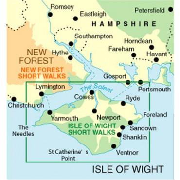
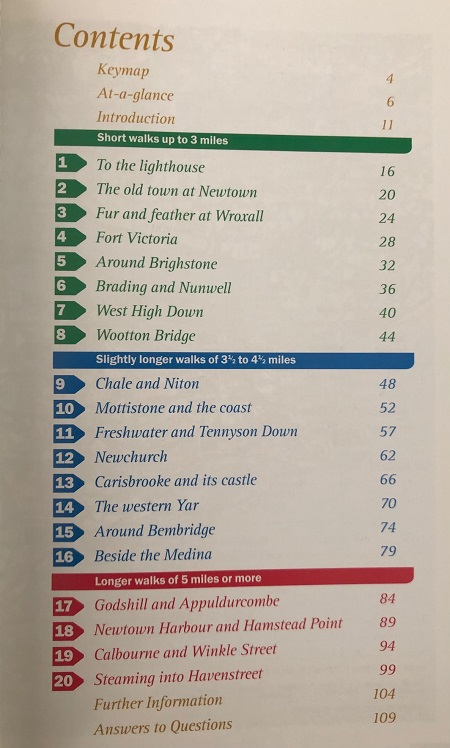
The walk locations are:
St Catherine's Point and Lighthouse - 1.75 miles
Newtown - 2 miles
Wroxall - 2.5 miles
Fort Victoria Country Park - 2.5 miles
Brighstone - 2.5 miles
Brading and Nunwell - 2.5 miles
West High Down - 2.5 miles
Wootton Bridge - 2.75 miles
Chale and Niton - 3.5 miles
Mottistone and the Coast - 3.75 miles
Freshwater and Tennyson Down - 3.75 miles
Newchurch - 4 miles
Carisbrooke and its Castle - 4.25 miles
The western River Yar - 3.75 miles
Bembridge - 4.25 miles
Cowes and River Medina - 4.5 miles
Godshill and Appuldurcombe - 5 miles
Newtown Harbour and Hamstead Point - 5 miles
Calbourne and Winkle Street - 5.5 miles
Havenstreet - 5.5 miles