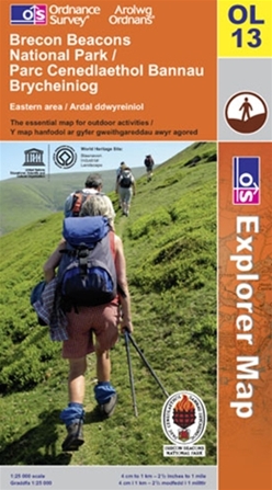
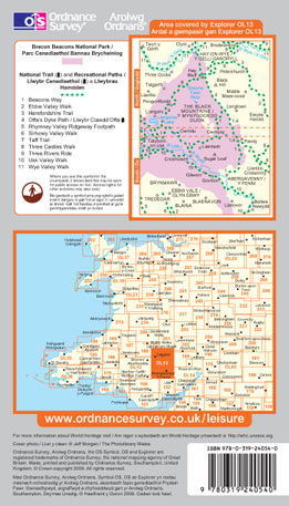
An OS Explorer Map is the ideal companion to help keep your outdoor activities on track.
The detailed scale of 1:25 000 (4cm to 1km) means that bridleways, cycle trails and paths are all clearly shown. They also highlight public rights of way, showing where you can walk in areas of open country and registered common land. In addition there is a wealth of visitor information, such as the location of stately homes, museums, gardens open to the public, camp sites and selected pubs.
Whether you are exploring a new area or enjoying your local region an OS Explorer Map will help you discover the best of what the town and countryside have to offer.
Features at a glance:
-
Recommended for Walkers, off-road cyclists, horse riders & other outdoor activities
-
Scale - 1:25000
-
4 cm to 1 km or 2.5 inches to 1 mile
-
Picnic areas and viewpoints
-
Selected places of interest
-
Rights of way information for England and Wales
-
National Trail and Recreational Path routes shown
-
Selected Tourist information
-
Youth hostels
-
Camping sites