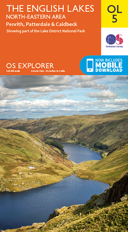
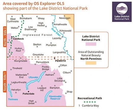
Whether you’re embarking on an energetic excursion in the great
outdoors, or simply planning a relaxing day out in the countryside, the
OS Explorer map of the North East Lake District will tell you everything
you need to know to easily navigate your route.
This
backpack-friendly fold-up companion to every outdoor pursuits enthusiast
– from the occasional ambler, to the weathered mountain climber – is
the essential guide to this beautiful corner of Lakeland. Leading you to
every imaginable site of interest, you can be safe in the knowledge
that you’re on the right track as you soak up the spectacular scenery.
Step
back in time, discovering atmospheric Neolithic sites at Castlerigg
Stone Circle and Mayburgh Henge. Gently amble around the banks of
beautiful Ullswater, the setting for Wordsworth’s ‘Daffodils’ poem. Or
if you’re up for a steeper challenge, why not take on Helvellyn Fell?
You’ll
find every landmark, house, river, viewpoint, hill, pub and right of
way clearly marked. So whatever your outdoor interests, from cycling and
sailing, to horse riding and kayaking, the OS Explorer map of the North
East Lake District will help you get the most out of your days out and
outward bound holidays.
Highlights:
- Ullswater
- Deepdale
- Helvellyn
- High Street
- Grisedale
- Penrith
- Ullswater
- Blencathra
- Fairfield
- Great Dodd
- Harter Fell
- St. Sunday Crag
- Haweswater
- Cumbria Way