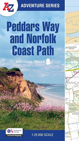
The A-Z Adventure Series
uses Ordnance Survey mapping and is the perfect companion for walkers,
off-road cyclists, and anyone wishing to explore the great outdoors.
Together, Peddars Way and the Norfolk Coast Path form a 93 mile (150km) National Trail
across west Norfolk and along its northern coast. The route is clearly
shown on the map and passes through a rich landscape with fantastic
scenery, places of interest, and an abundance of wildlife.
This National Trail Map
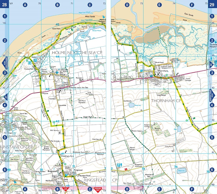
features detailed Ordnance Survey mapping at a scale of 1:25 000,
providing complete coverage of Peddars Way and the Norfolk Coast Path.
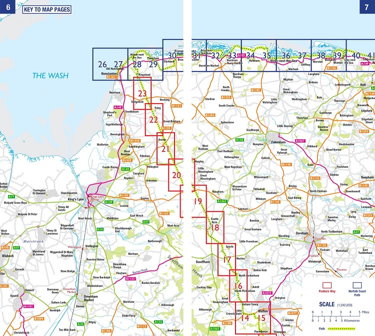
There is also a route planner included to show distances between places
and the amenities available making it easy to plan your adventure.
Additional features include:
- Information Centres
- Hotels/B&Bs
- Youth Hostels
- Campsites (seasonal opening)
- Public Houses
- Shops
- Restaurants
- Cafes (seasonal opening)
- Petrol Stations