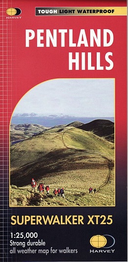
From Edinburgh (City Bypass) south westwards to Dunsyre and Bleak Law. From the A702 in the east, through West Linton, to the west the A70 through Balerno. Caerketton and Allermuir Hills provide panoramic views over Edinburgh and the Forth. This map for hillwalkers includes Scald Law and Carnethy Hill.
-
The whole of the Pentlands on one side of one sheet.
-
Exceptionally clear.
-
Printed on polyethylene.
-
Strong , durable and 100% waterproof.
-
Less than half the weight of a laminated map.
-
GPS compatible.
-
Places of interest also shown.
-
The clarity of the mapping has been improved to enable more people to read it without their glasses.
-
The map is uncluttered by information irrelevant to the walker.
-
The precise contouring and delicate hill shading give an immediate picture of the ground.
Experience the satisfaction of fine navigation with the Superwalker XT25
now printed on our 100% waterproof and almost indestructible paper
, whatever the weather!