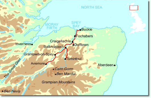
Following the lovely valley of the River Spey, you walk through
countryside rich in malt whisky and wildlife, along riverside paths,
railway trackbed and forest and moorland tracks.
This third
edition, based on fieldwork in 2021, has been fully revised to celebrate
the long-awaited extension to Newtonmore.
It has custom large-scale
mapping on 17 of its pages. Over half of its 100 colour photos are new,
and despite having 16 pages more than the previous edition, its lighter
and more rainproof than ever.
This book is in our lighter, more pocket-friendly format, with perfect binding instead of concealed wiro-binding.
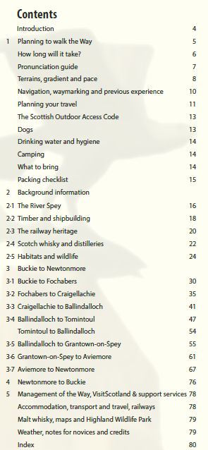
This guidebook contains all you need to plan and enjoy the Speyside Way:
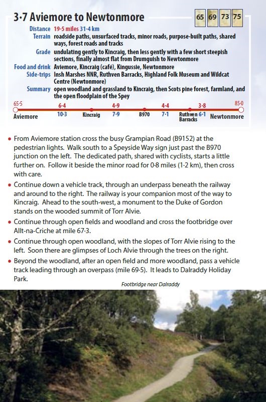
- the Way step-by-step, with summaries of distance, terrain and refreshments
- detailed mapping of the entire Way including Tomintoul spur (1:42,500)
- plans of villages and towns that the Way passes through
- habitats and wildlife, including dolphins, ospreys and wildcats
- detailed coverage of whisky-making and distilleries
- planning information for travel by car, train, bus or plane
- concise directions for walking the reverse direction
- in full colour, with 103 photographs
- rucksack-friendly and on rainproof paper.
"Innovative, entertaining and practical" - Cameron McNeish