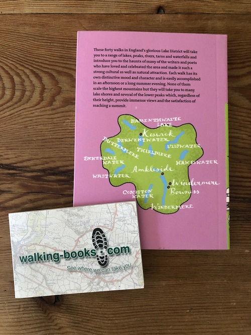
Each walk has its own distinctive mood and character and is easily
accomplished in an afternoon or in a long summer evening. None of them
scale the highest mountains
but they will take you to many lake shores and several of the lower
peaks which, regardless of their heights, provide immense views and the
satisfaction of reaching a summit.
Each walk entry begins with
distance, time and terrain together with an outline of the walk area
followed by route finding instructions and a simple colour sketch map.
Colour photographs are also included throughout the book.
The walk
locations are grouped geographically into five sections: South East,
North East, Borrowdale and Derwentwater, North West and South West.
List of Walk Locations
South East
Post Knott and Brant Fell
Near and Far Sawrey from Bowness
Ambleside waterfalls and Wansfell
Wray Castle ramble
A Rydal round
Alcock Tarn
Easedale Tarn
Elterwater and Colwith Force
Tarn Hows and Black Crag
Hawkeshead and Latterbarrow
Whitbarrow Scar
Levens Deer Park and Scout Scar
North East
Pooley Bridge to Dalemain and Dacre
High road to Howtown Pier
Hallin Fell
Ullswater shore
Lanty's Tarn
Aire Force to Gowbarrow Fell
St John's in the Vale and High Rigg
Borrowdale and Derwentwater
Friar's Crag and Castlehead
Brandelhow Estate
Walla Crag
King's How and the Bowder Stone
Rosthwaite to Castle Crag
Watendlath and Dock Tarn
Seatoller and the River Derwent
The Dodd
North West
The Newlands Valley
Loweswater
Buttermere
Cinderdale and Rannerdale Knotts
Ennerdale
South West
Beacon Tarn and Fell
Swinside Stone Circle
Wallowbarrow Gorge
Eskdale Valley
Stanley Ghyll
Blea Tarn
Nether Wasdale
Wasdale Head and Mosedale