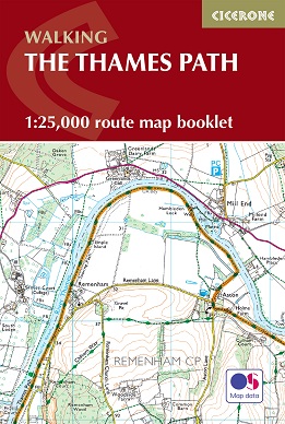
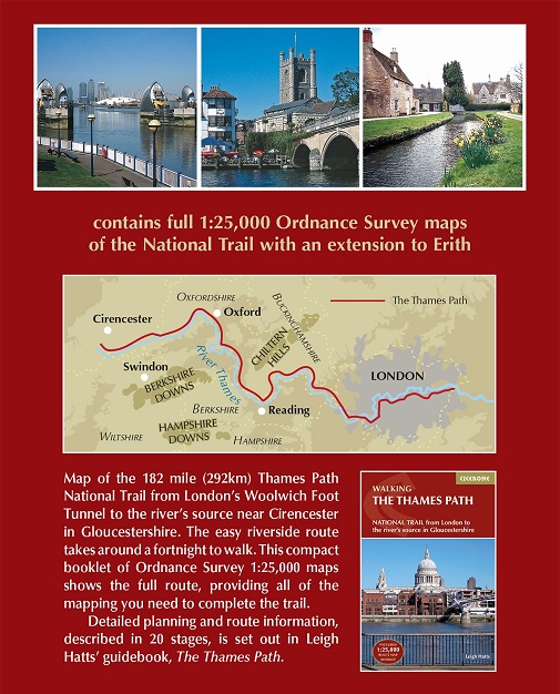
A booklet of all the mapping needed to complete the Thames Path
National Trail between the Woolwich Foot Tunnel in east London and the
river’s source in Gloucestershire. This straightforward trail covers
292km (182 miles) and can be walked in around 2 weeks.
- GPX files available to download
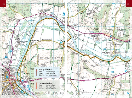
- The full route line is shown on 1:25,000 OS maps
- The map booklet can be used to walk the trail in either direction
- Sized to easily fit in a jacket pocket
- The relevant extract from the OS Explorer map legend is included
- Route extension from Erith in Kent to Woolwich Foot Tunnel is also provided
Conveniently sized for slipping into a jacket
pocket or top of a rucksack and provides all the mapping needed to
complete the trail.
Passing through London, Windsor and Oxford as well as rural countryside,
this National Trail offers walkers a diverse range of landscapes and
scenery.
With excellent public transport services at each stage, this
trail can also be completed in bite-size pieces - why not relish the
route over several weekends throughout the year and discover the many
moods of the Thames with the passing seasons?
This map booklet is included with the Cicerone
guidebook to the Thames Path, where the route is divided into 20 stages,
with each stage ranging from 4 to 16 miles.