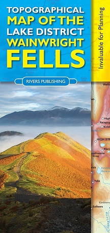
A clear, informative & inspirational map - the perfect
partner for bagging the Wainwright Fells
Leo Houlding
- Clearly
shows and names all of the 214 Wainwright Fells
- Scale
1:100,000 (sheet size 690x490mm)
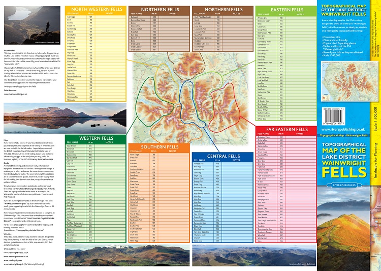
- Reverse
side has full tables of the 214 Fells with space for notes.
- Detailed
topographical map with 50m contours
- Shows
popular start points & parking places
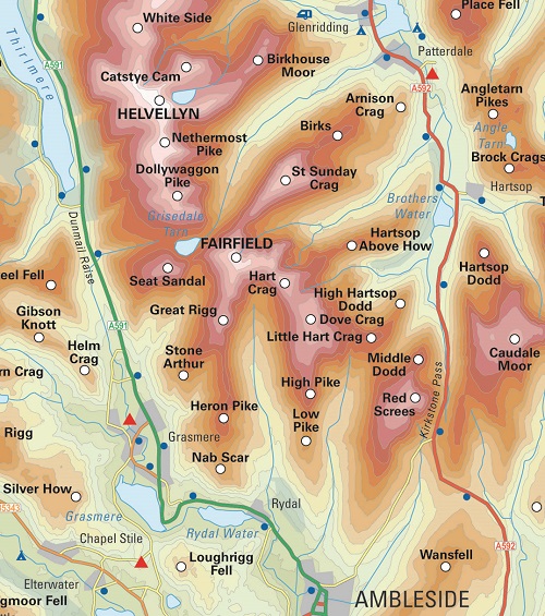
This map shows all of the 214 Wainwright Fells of the Lake
District very clearly on a high quality topographical base map. It will especially appeal to those walkers who
want to plan their trips and to mark off the Wainwright fells as they do them.
Each Wainwright summit is clearly labelled with the fell
name alongside it, together with a small white circle so that you can mark off
a peak when you have done it. Popular
starting and parking places are shown with a small blue dot to help route planning.
Place and fell names are easily legible
(see images). Hill relief is shown by
graduated colour layers with a 50m contour interval.
On the reverse side of the sheet is a smaller index map that
shows how the area is divided into different fell groups. Each group of fells then has a table listing
all the Wainwright summits in that group, showing their heights in metres and with
space alongside each for personal notes such as date climbed.
Note that to show essential detail on the map as clearly as
possible, less relevant information such as grid lines and footpaths are not
shown. The map is not intended, or
should be used for navigation in the field.
(Many walkers do though carry it as an extra map for identifying distant
peaks).