Call: 0333 335 5474
Basket: £0.00 | 0 items

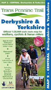
Trans Pennine Trail - Derbyshire & Yorkshire
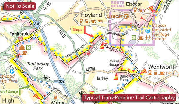
Route map Detailed map section

Trans Pennine Trail - Derbyshire & Yorkshire

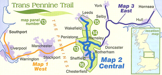
The central section covers a whole network of routes, linking the major urban centres of the region including Sheffield, Rotherham, Wakefield, Chesterfield, and Barnsley. The map shows a walking, cycling, and in places, horse riding route.
 
This section of the route covers an amazing range of sights and scenes as the Trail passes through countryside, towns and cities of the North of England, on historic railways, packhorse routes and canals, riverside paths and woodland bridleways.
 
  • Route: Leeds to Chesterfield and Penistone to Sprotbrough 
  • Distance: Leeds to Chesterfield 70 miles. Penistone to Sprotbrough 21 miles. Much of the Trail is traffic-free.
  • Scale: 1:50,000

ISBN 9780953227785
 
OUR PRICE: £5.99
 
Quantity
 
Delivery Info  
Flat rate £2 postage on all items/orders up to £19.99 Free Delivery on orders over £20


Know someone who'd like this? Tell them about it...

*
*
*
Shopping with us is safe and secure
Copyright © Walking-books.com All rights reserved Created by White Room Creations T&C’s I Privacy Policy