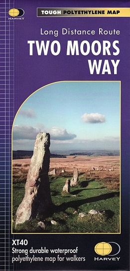
The Way links Dartmoor and Exmoor National Parks and passes through varied terrain: high moorland, wooded valleys, and unspoilt rural scenery with a remote and tranquil feel. There are one or two strenuous stretches and some unwaymarked open moorland requiring navigation skills.
These maps are a leap forward in technical excellence. They are tough, durable, light, and 100% waterproof - virtually indestructible in normal use. They are light to carry, and compact not the great bulky package you get with a laminated map.
The 1:40,000 map is detailed, with the route clearly marked. It also contains general information and useful telephone numbers to assist with planning, and a full key.