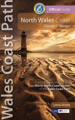
The 80 mile/125km long North Wales Coast section of the Wales Coast Path
between Chester and Bangor runs alongside the broad Dee Estuary and
traditional seaside towns past Conwy Castle, the Great Orme, Penmaenmawr
and Conwy Mountain to the university town of Bangor on the Menai
Strait.
Walking the North Wales Coast will surprise and delight. The coast
has been justifiably popular with holidaymakers old and young since
Victorian times. It is one of the most accessible stretches of the Wales
Coast Path, and includes long stretches of flat promenade with plenty
of seats, suitable for the less active visitor, including wheelchair
users and young families with buggies. There is also excellent public
transport along the whole route, with train stations at regular
intervals and frequent bus services.
The Wales Coast Path begins at the Welsh border on the River Dee a
couple of miles outside the historic City of Chester, then follows the
river into the widening estuary, passing expanses of mudflats that are
feeding grounds for thousands of wildfowl and waders. From the mouth of
the estuary by Talacre lighthouse, the path leads along the beach and
through the dunes at Gronant, then along promenades through a string of
Victorian seaside resorts. The route then climbs the Little Orme, before
following the sweeping promenade of elegant Llandudno to the
magnificent Great Orme. Here the path follows Marine Drive, built as a
Victorian carriage route, then continues along the coast to the Medieval
walled town of Conwy. At Conwy there is a choice of routes to
Llanfairechan: the more challenging upland route over the heather-clad
moorland of Conwy Mountain, or a more gentle walk hugging the coast
around Morfa Conwy and Penmaenmawr, with the mountains as a backdrop.
From Llanfairfechan, the peaceful path stays close to the water’s edge
with superb views across the Menai Strait, eventually following a
disused railway line into Bangor.
This Official Guide splits the route into 8 convenient day sections,
each of about 9-12 miles / 14-20 kilometres. It contains everything
local and long-distance walkers need to enjoy the path.
- An overview of the North Wales Coast with dedicated history and wildlife sections
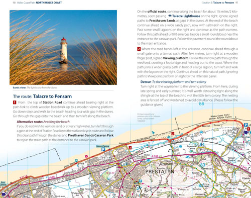
- Eight day-walk sections with detailed route descriptions and full, enhanced Ordnance Survey mapping
- Distance charts, section overviews, background information and interpretation of places of interest
- Stunning professional photographs throughout
- Information on accommodation, public transport, local information, weather, and tidal links.
Contents
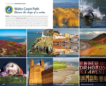
- Wales Coast Path: Discover the shape of a nation
- Wales Coast Path: An 870-mile coastal adventure
- The Best of the North Wales coast
- North Wales Coast: Part of the Wales Coast Path
- Walking the North Wales coast – map and distance chart
- Day Sections
- Limited for time? – the North Wales Coast in a nutshell
- A brief history of the North Wales Coast
- Wildlife on the North Wales Coast
- Waders, wildfowl and coastal flowers
- The North Wales Coast section of the Wales Coast Path
- Day Section 1: Chester to Flint
- Docks and shipyards
- Day Section 2: Flint to Talacre
- A military stronghold
- Day Section 2b: Flint to Talacre (alternative high route)
- Day Section 3: Talacre to Pensarn
- Sand dune sanctuary
- Day Section 4: Pensarn to Llandudno
- Sun and sand
- Day Section 5: Llandudno to Conwy
- Birds and butterflies
- A hilltop stronghold
- Day Section 6a: Conwy to Llanfairfechan (low route)
- Castles and conquest
- The road to Ireland
- Day Section 6b: Conwy to Llanfairfechan (high route)
- Shipwrecks and gales
- Day Section 7: Llanfairfechan to Bangor
- Useful Information
- Welsh Coastal Place Names
“These excellent guides lay the whole Wales Coast Path at
your feet — mixing practical information with the history, heritage and
wildlife you will meet as you walk.”
— Country Walking magazine