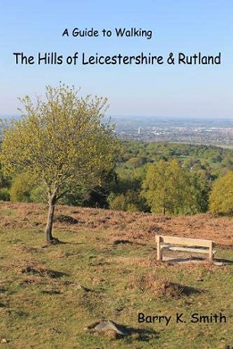
The hills are defined as summits with a drop of 30 meteres on all sides.
in hill walking parlance, these summits are called TuMPS (Thirty upward
Metres Prominence). There are thirty-one hills in Leicestershire and
Rutland that qualify as Tumps.
For the purposes of this book, they are
split into five sections:
- Charnwood Forest
- North Leicestershire
- South
Leicestershire
- East Leicestershire
- Rutland (the county top) and
seven further hills because of their historical interest or interesting
location.
Each hill is described on a separate page. Height, Ordnance Survey
Landranger map sheet number and grid reference are provided plus a
colour photograph. An introductory section, a tabular listing of the
hills by height and a location map, plus an index complete the book
contents.
It provides a useful reference for anyone wishing to explore
the high points of Leicestershire and Rutland on foot.