The format is designed to make navigation as easy
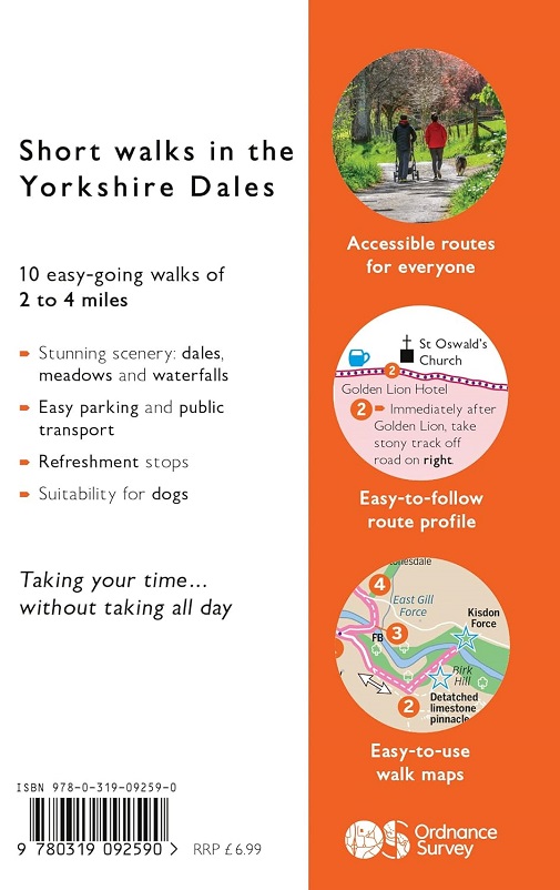
as possible using mapping with pictorial symbols designed to help users
focus on the route and points of interest.
Fascinating places of interest may provide
ideas for extending your visit, while Nature Notes point to things you
might spot.
For those not comfortable
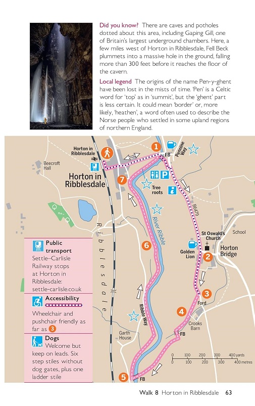
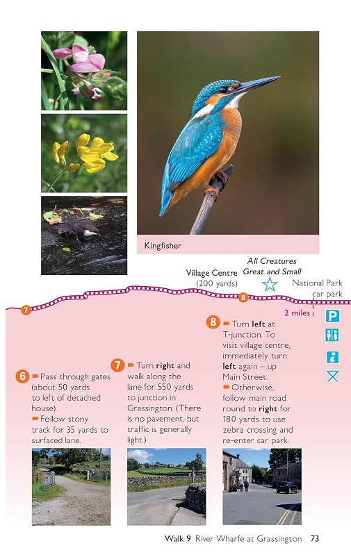
with map reading there is a simple-to-follow route profile and
accompanying route description and pictures.
The full colour
guide includes information on parking and public transport, suitability
for dogs, the stories behind each walk, nature notes, and refreshment
stops. The book has plenty of attractive photographs of places visited
including dales, meadows, and waterfalls.
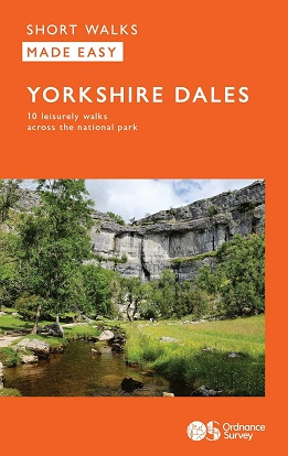
Ten leisurely walks-for-all in The Yorkshire Dales
- No previous country walk experience is required
- All
routes are low level, between 2 and 5 miles in length, set amid
stunning scenery and can be completed all year round with no need for
specialist walking gear
- Information is provided on where a
train or can be used to reach the walk location, and
accessibility is highlighted for pushchairs and wheelchairs
Focused on:
- Accessible routes
- Stunning scenery and quieter areas
- Easy parking & public transport
- Suitability for dogs
- The stories behind each walk
- Nature notes
- Refreshment stops
- Taking your time without taking all day
The walk locations are:
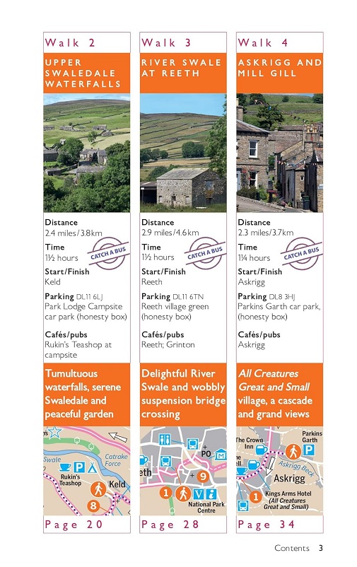
Stainmore Railway and River Eden - 3.1 miles
Upper Swaledale Waterfalls - 2.4 miles
River Swale at Reeth - 2.9 miles
Askrigg and Mill Gill - 2.3 miles
Dentdale - 2.4 miles
Ribblehead Viaduct - 2.9 miles
Upper Wharfedale at Buckden - 3.9 miles
Horton in Ribblesdale - 2.5 miles
River Wharfe at Grassington - 2 miles
Malham Cove - 2.1 miles