
To find the book, map or guide you are looking for, first select the area you are interested in by moving your mouse over the map and then click on a region to view our range.


Scotland

The OS Landranger Map Series is perfect for day trips and short breaks covering the whole of Great Britain with 204 detailed maps. Each map provides all the information you need to get to know the local area and main tracks and pathways etc.

OS Landranger Map 79 Hawick...
The OS Landranger Map Series is perfect for day trips and short breaks covering the whole of Great Britain with 204 detailed maps. Each map provides all the information you need to get to know the local area and main tracks and pathways etc.

The OS Landranger Map Series is perfect for day trips and short breaks covering the whole of Great Britain with 204 detailed maps. Each map provides all the information you need to get to know the local area and main tracks and pathways etc.

The OS Landranger Map Series is perfect for day trips and short breaks covering the whole of Great Britain with 204 detailed maps. Each map provides all the information you need to get to know the local area and main tracks and pathways etc.

OS Landranger Map 83 Newton...
The OS Landranger Map Series is perfect for day trips and short breaks covering the whole of Great Britain with 204 detailed maps. Each map provides all the information you need to get to know the local area and main tracks and pathways etc.

The OS Landranger Map Series is perfect for day trips and short breaks covering the whole of Great Britain with 204 detailed maps. Each map provides all the information you need to get to know the local area and main tracks and pathways etc.

OS Landranger Map 9 Cape Wrath
The OS Landranger Map Series is perfect for day trips and short breaks covering the whole of Great Britain with 204 detailed maps. Each map provides all the information you need to get to know the local area and main tracks and pathways etc.

Outdoor First Aid Practical...


This fully updated Pathfinder Loch Lomond, the Trossachs & Stirling includes eight new walks and all with revised maps and GPS references. The walks explore Scottish Highlands and range from easy, loch-side strolls to expeditions onto some of Scotland's mountains, perfect for all abilities as well as families and young children.
Price: £12.99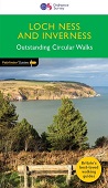


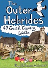
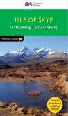
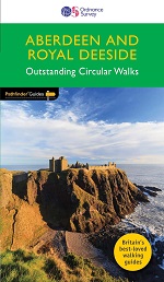
Pathfinder Guides are the perfect companion for country walks throughout Britain. Each title features 28 circular walks with easy-to-follow route descriptions, all tried and tested by seasoned walkers. The routes range from extended strolls to exhilarating hikes, so there is something for everyone.
Price: £12.99
Pathfinder Guide Orkney and...

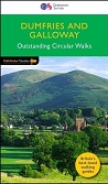
This Dumfries and Galloway Pathfinder Guidebook describes 28 outstanding
circular walks in the south-west of Scotland; a broad wedge of land
jutting out into the Irish Sea between the Solway Firth and the Firth of
Clyde.
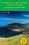
The countryside around Edinburgh is ideal for walking comprising a
superb mixture of rolling hills, expansive moorland and attractive
rivers, bounded by fertile lowlands and an impressive coastline.

This easy-to-use guide, written by experienced mountain leader and navigation trainer Clive Thomas, uses non-technical language to introduce you to choosing and using a gps receiver to enhance leisure walking and make it safer.
Price: £11.99
It makes sense to be safe in the countryside and this companion title to the best-selling Pathfinder and Short Walks series provides a practical and easy-to-use introduction to basic map reading and navigation skills for walkers.
Price: £11.99
For 25 years Pathfinder Guides have been the definitive companion to the highways, byways, hills, moors and coastline of Britain.
Price: £11.99


Pennine Way - Edale to Kirk...

More than a map, an essential piece of equipment this new generation HARVEY Superwalker is designed to be the most practical tool for navigation outdoors.
Price: £10.95
Think of East Lothian and Midlothian and a low-lying, predominantly
rural landscape may well spring to mind, yet the Pentland Hills, just
south of Edinburgh, rise to nearly 600m in height and provide some of
the finest hillwalking in Scotland with wonderful views from the
summits.


