
To find the book, map or guide you are looking for, first select the area you are interested in by moving your mouse over the map and then click on a region to view our range.


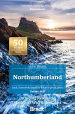
North East including Durham and Northumberland


The central section of the Northumberland National Park (Northumberland Central), is available in our fabulous map style!
Price: £18.99

Northumberland Coast Path -...
The Northumberland coastline stretches from the outskirts of Newcastle up to the Scottish border at Berwick-upon-Tweed
Price: £14.99
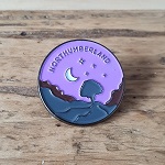
Enamel pin featuring Sycamore Gap along Hadrian's Wall in wild Northumberland National Park, England.
Price: £8.00
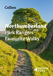
Northumberland Park Rangers...
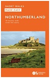

Northumberland Walks - with...
This book proves that the tortoise and the hare can set off and finish
at the same time, and enjoy each others company along the way.


OL43 - Hadrian's Wall area Explorer Active Map
1:25 000 scale (4 cm to 1 km 2.5 inches to 1 mile) The essential map for outdoor activities.
Price: £13.99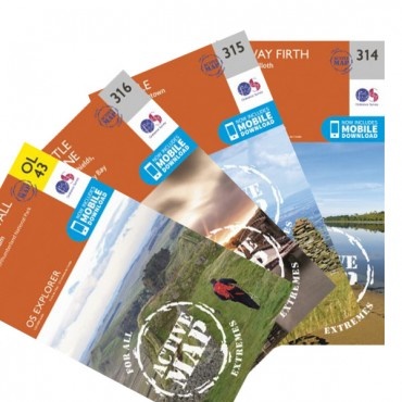
OS ACTIVE MAPS - waterproof
The 84-mile Hadrian's Wall Path is a National Trail that connects the
quiet town of Bowness-on-Solway on the west coast to the ex-shipbuilding
town of Wallsend near the bustling city of Newcastle-upon-Tyne in the
north-east.
SAVE MONEY with this bundle of FOUR Explorer maps that cover every step of the route.

The OS Landranger Map Series is perfect for day trips and short breaks covering the whole of Great Britain with 204 detailed maps. Each map provides all the information you need to get to know the local area and main tracks and pathways etc.

The OS Landranger Map Series is perfect for day trips and short breaks covering the whole of Great Britain with 204 detailed maps. Each map provides all the information you need to get to know the local area and main tracks and pathways etc.

OS Landranger Map 87 Hexham...
The OS Landranger Map Series is perfect for day trips and short breaks covering the whole of Great Britain with 204 detailed maps. Each map provides all the information you need to get to know the local area and main tracks and pathways etc.

The OS Landranger Map Series is perfect for day trips and short breaks covering the whole of Great Britain with 204 detailed maps. Each map provides all the information you need to get to know the local area and main tracks and pathways etc.

Outdoor First Aid Practical...

This walking guide covers both the Cumbrian and Durham sides of the North Pennines, a designated Area of Outstanding Beauty, and also extends eastwards across Durham to the North Sea Coast.
Price: £12.99
This selection offers interest, regional variety and balance of routes
in Northumberland the the Scottish Borders providing the best walks in
the area.


This easy-to-use guide, written by experienced mountain leader and navigation trainer Clive Thomas, uses non-technical language to introduce you to choosing and using a gps receiver to enhance leisure walking and make it safer.
Price: £11.99
It makes sense to be safe in the countryside and this companion title to the best-selling Pathfinder and Short Walks series provides a practical and easy-to-use introduction to basic map reading and navigation skills for walkers.
Price: £11.99
For 25 years Pathfinder Guides have been the definitive companion to the highways, byways, hills, moors and coastline of Britain.
Price: £11.99


Pennine Way National Trail Map

Steeped in history, this National Trail chases along the mountain tops along the rugged backbone of England and offers 268 miles of the finest upland walking in England. A once in a lifetime experience.
SAVE money with this bundle of NINE Explorer maps that cover this classic walk.
FREE UK Delivery.


