To find the book, map or guide you are looking for, first select the area you are interested in by moving your mouse over the map and then click on a region to view our range.


Yorkshire

Part of a series of full-colour 'Pocket Walks', being small, practical sized guidebooks aimed at those walkers looking for shorter walks.
Price: £3.99


Skipton and Surroundings Walks
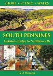
South Pennines Short Scenic...

SplashMap Yorkshire Dales -...
Fed up with paper maps that became mush every time it rains, and not wanting to use laminated maps which are just to awkward to fold, then this is what you need! Impressive new take on what we expect from our maps!
Please check on stock levels at point of ordering.
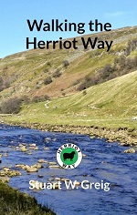
A 4-day, 52-mile circular walk around areas of the northern Yorkshire Dales made famous by James Herriot, from the popular TV series.
The guide book has 120 pages, weighs approx. 120g and is 18cm high and 11cm wide, perfect for fitting into a jacket pocket, or the side pocket of a pair of trousers.
The book contains all the information needed to plan and walk the route, including a village guide, maps and step-by-step route descriptions.


The Sea to Sea is one of Britain's most popular long distance cycle routes, 138 miles (222km) across the north of England.
Price: £9.95
The Coast to Coast Walk - A...
Originally devised by the legendary Alfred Wainwright, the
Coast-to-Coast Walk has steadily become one of Britain's most popular
long-distance walks, and it is not hard to see why.

The ‘Dales 30’ are the mountains in the Yorkshire and Cumbrian Dales
(defined by the new National Park Boundary) which are over 2,000 foot
high with a drop of a minimum of 30 metres (98.4 ft) in each direction.
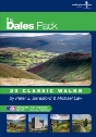
The Ultimate Walking Companion to the Yorkshire Dales - 20 classic walks on individual, handy, weather-proof cards with OS mapping.
** Buy direct from the publisher and SAVE £5 on RRP **

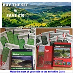
The Dales Pack Set - 2 Volumes


The Eden Way is an 83-mile long distance walk the follows the River Eden, from sea to source.
Price: £10.00
The Kendal Limestone Way is a 63 mile (101km) long linear walk from the
market town of Skipton in North Yorkshire to the south Lake District
town of Kendal. The route takes the walker through Malham, Settle,
Ingleton, Kirkby Lonsdale and Levens Bridge.


Pocket-size photographic guide to 12 hill walks on the North York Moors on land opened up to walkers by the Countryside and Rights of Way legislation.
Published with Ramblers' Association.



Packed with stunning photographs and practical tips encompassing everything from after-work local adventures to spending a night out on the hills, The Outdoors Fix might just provide the inspiration you need to embrace the great outdoors and live more adventurously.
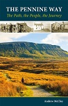
The Pennine Way - the Path,...
A portrait of the The Pennine Way, Britain's oldest and best known
long-distance footpath, stretching for 268 miles from the Derbyshire
Peak District to the Scottish Borders. It charts the path's remarkable
history, and walkers past and present relate their experiences of this
commanding, exhilarating and complex path.

This wonderful series takes all the hard work out of finding that perfect location for your photograph. This SPECIAL OFFER includes THREE volumes covering the Yorkshire Dales, Peak District and Lake District and SAVES YOU £8 on the full RRP with free delivery.

The Photographer’s Guide to...
Discover the top photography locations in The Yorkshire Dales with this detailed guide book.
Price: £12.95