
To find the book, map or guide you are looking for, first select the area you are interested in by moving your mouse over the map and then click on a region to view our range.


walkshire


Part of a series of full-colour 'Pocket Walks', being small, practical sized guidebooks aimed at those walkers looking for shorter walks.
Price: £3.99

The Yorkshire Dales with its picturesque dales, ancient farmhouses and
villages offer some superb country walking.This can be explored with
these 20 walks, all of which are 5 miles or under in length and can
easily be completed in less than 3 hours.


Skipton and Surroundings Walks
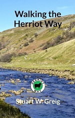
A 4-day, 52-mile circular walk around areas of the northern Yorkshire Dales made famous by James Herriot, from the popular TV series.
The guide book has 120 pages, weighs approx. 120g and is 18cm high and 11cm wide, perfect for fitting into a jacket pocket, or the side pocket of a pair of trousers.
The book contains all the information needed to plan and walk the route, including a village guide, maps and step-by-step route descriptions.
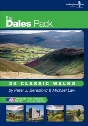
The Dales 30 are the mountains in the Yorkshire and Cumbrian Dales
(defined by the new National Park Boundary) which are over 2,000 foot
high with a drop of a minimum of 30 metres (98.4 ft) in each direction.
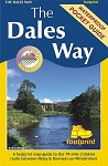
The Ultimate Walking Companion to the Yorkshire Dales - 20 classic walks on individual, handy, weather-proof cards with OS mapping.
** Buy direct from the publisher and SAVE £5 on RRP **

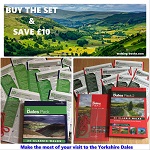
The Dales Pack Set - 2 Volumes

The Eden Way is an 83-mile long distance walk the follows the River Eden, from sea to source.
Price: £10.00

The Photographers Guide to...
Discover the top photography locations in The Yorkshire Dales with this detailed guide book.
Price: £12.95

The South Yorkshire Moors -...

The Tributaries Walk is a seven day circular walk following the rivers
and tributaries that run through Yorkshire's finest limestone Dales.


The West Yorkshire Moors is an original cartographic guide to all of West Yorkshires open access moorland, large parts of which were not until recently accessible to the walkers, fell-runners and antiquarians who wanted to explore them.
Price: £12.99
'The West Yorkshire Woods - Part 1: The Calder Valley' is an original cartographic guide to the Calder Valleys woodlands. The book covers the rich variety of landscapes that lie between Norwood Green and Walsden, including Cragg Vale, Shibden Dale, Hardcastle Crags, and the Ryburn, Luddenden and Blackburn Valleys.
Price: £12.99
Price: £12.99
The Yoredale Way is a long distance walk that follows the course of the
River Ure, from its source on the high fells in the Yorkshire Dales
National Park above Kirkby Stephen, to the village of Boroughbridge 73
miles later.

The Yorkshire Wolds are one of Yorkshire and England's most magical but
least known landscapes - dry grassy valleys through undulating chalk
hills, unspoiled villages, a dramatic coastline, delightful market towns
such as Beverley and Pocklington, and as a focal point, 2017 City of
Culture, Kingston upon Hull.


Top 10 Walks - Walks to the...


