
To find the book, map or guide you are looking for, first select the area you are interested in by moving your mouse over the map and then click on a region to view our range.


walkshire


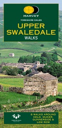
Harvey - Upper Swaledale Walks

Harvey BMC North York Moors...
This North York Moors map is a welcome addition to the range of British Mountain Maps published by Harvey Maps in conjunction with the BMC.
Price: £14.50
The Cleveland Way runs for 174km (109 miles) from Helmsley across the North York Moors National Park to Saltburn and along the coast via Scarborough ending at Filey and this is the perfect map for your adventure.
Price: £12.95

HARVEY Superwalker maps for...

This book contains routes which are suitable for walkers of all abilites and to suit all tastes, and represent the ideal guide to trekking in the UK. They are compact (A6: 105 x 148mm), light, inexpensive, describe between 20 and 40 walks and are 32 or 40 pages in length.
Price: £2.99
A practical guide to the Mid Pennine Way - 165 miles from Hebden Bridge to Hadrian's Wall along the very heart of Britain's premier National Trail.
Price: £9.99
This is Book 21 in the exciting new series of full-colour 'Pocket Walks', being small, practical sized guidebooks aimed at the less serious rambler. Full colour photographs and colourful sketch maps accompany each of the well described walks, with the bonus of making it an attractive souvenir of the area.
Price: £3.99

Lying on the northern frontier of the Yorkshire Dales National Park is
Swaledale, whose unrivalled scenery and secluded grandeur make it one of
the most picturesque landscapes in England.
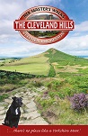
The Cleveland Hills mark the north-western border of the North York Moors National Park. This spectacular range of hills rises dramatically from the vast Cleveland Plain to create an imposing natural boundary.
Price: £4.99
The Hambleton Hills, lying on the south-west border of the North York Moors National Park, is a superb area for walkers.
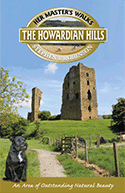
The beautiful rolling countryside of the Howardian Hills AONB provides excellent prospects for walkers. A diverse network of footpaths and bridleways offer a superb selection of routes ranging from riverside rambles to scenic hill walks.
Price: £4.99
Wensleydale is the largest of all the Yorkshire Dales. It is a green and fertile valley, with many natural and man-made features.
Price: £4.99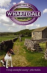
Wharfedale is probably the best known of the Yorkshire Dales and
certainly one of the loveliest. Its breathtaking scenery and rich
variety of flora and fauna put it in a class of its own.

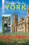
This wonderful new book is the perfect guide to both city and countryside, containing 25 carefully chosen meanders to places of historical interest.
Price: £8.95


